testsetset
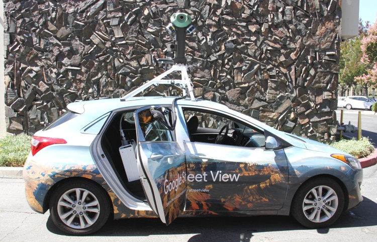
For the past three years, some of Google’s famous Street View cars have traversed Californian streets equipped with sensors from environmental sensor network Aclima to capture air pollution data. Today, the duo announced they are expanding this partnership globally.
Google first announced it was working with Aclima to help map Californian air quality back in 2015, though this actually came a few months after a similar trial program was unveiled in Denver. In the three years since, Google Street View cars with Aclima sensors have driven more than 100,000 miles across California, including in San Francisco and Los Angeles, and last year Google revealed it would begin making data available to the academic and scientific community.
The internet giant has also previously partnered with the Environmental Defense Fund (EDF) for an initiative to map natural gas leaks beneath the streets of Boston, Indianapolis, and Staten Island — such leaks not only pose a near-term safety risk, they may also impact the global climate.
Big data
That Google is looking to officially launch its air pollution monitoring service outside of California and beyond the U.S. indicates that its data-collection efforts so far have been successful. A peer-reviewed study was published in Environmental Science and Technology last year, showing how air quality in Oakland could vary significantly within a single block.
June 5th: The AI Audit in NYC
Join us next week in NYC to engage with top executive leaders, delving into strategies for auditing AI models to ensure fairness, optimal performance, and ethical compliance across diverse organizations. Secure your attendance for this exclusive invite-only event.
“We’ve been working with Aclima to test the technology for years, and we’re excited that we are ready to take the next steps to begin this new phase: expanding to more places around the world with the Street View fleet,” said Karin Tuxen-Bettman, program manager for Google Earth Outreach, in a press release. “These measurements can provide cities with new neighborhood-level insights to help cities accelerate efforts in their transition to smarter, healthier cities.”
It is worth pointing out that many cities already leverage “static” air quality sensors; however, those are usually not widespread and don’t collect data at street level, where people walk and breathe. This is why Google’s roaming Street View vehicles are useful — they capture data at various points, at different times of day, and they do so at street level. Crucially, the program doesn‘t involve much extra expense — Google Street View cars are already meandering through streets and thoroughfares around the world, so making additional use of the vehicles makes sense.
Google’s initial expansion of its air quality-sensing smarts will including 50 vehicles and will kick off later this year in the U.S. and yet to be determined markets further afield. Google has already partnered with the EDF for a similar project involving Street View cars in London, which has one of the worst air quality records in Europe, so don’t be surprised if the U.K. capital and other European cities are on its radar.
Aclima’s sensors will capture data including carbon dioxide (CO2), carbon monoxide (CO), nitric oxide (NO), nitrogen dioxide (NO2), ozone (O3), and particulate matter (PM2.5).
“As air pollution and climate emissions pose an urgent challenge to human and planetary health, partnering with Google to scale Aclima’s environmental intelligence platform in Street View cars will activate awareness about local air quality in communities around the world where this information doesn’t currently exist,” added Aclima CEO Davida Herzl.
Looking to the future, Google said it will eventually make its findings available via a public dataset through Google BigQuery, though results will be made available earlier to the air quality science community upon request.
