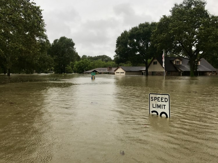
Facebook AI researchers have developed a method to analyze satellite imagery and determine the level of damages an area has suffered following natural disasters like fires and floods.
In the wake of a natural disaster, the approach could help emergency personnel identify the worst-affected areas.
The team of researchers also created a metric to measure the extent of damage caused by a natural disaster called the Disaster Impact Index (DII), which can be used to infer severe flooding or fire damage.
The convolutional neural network achieved precision rates of 88.8 percent when identifying damaged roads during 2017’s Hurricane Harvey near Sugar Land, Texas and 81.1 percent when identifying damaged buildings in the Santa Rosa fire.
June 5th: The AI Audit in NYC
Join us next week in NYC to engage with top executive leaders, delving into strategies for auditing AI models to ensure fairness, optimal performance, and ethical compliance across diverse organizations. Secure your attendance for this exclusive invite-only event.
Rather than relying on a static image of an area after a disaster for analysis, as some AI-based analysis has focused on in the past, the approach relies on photos taken before and after a natural disaster and breaking down each photo into smaller, more easily digestible grid of photos.
“As part of this work, we focus only on roads and buildings, however this can be extended to quantify disaster impact on other general natural and man-made features,” said the paper.
Titled “From Satellite Imagery to Disaster Insights,” the work was assembled by Facebook AI Research’s Saikat Basu and Guan Pang, as well as Jigar Doshi, machine learning lead at CrowdAI.
The paper was shared this week at Neural Information Processing Systems (NeurIPS) conference in Montreal.
To identify roads and buildings, the convolutional neural network was trained using Spacenet and Deepglobe satellite imagery as well as images from DigitalGlobe and Planet Labs. The AI system examined a roughly 55-square-mile area near Sugar Land, Texas and 46-square-mile area near Santa Rosa, California.
In the case of the Santa Rosa fire, ground truth data was obtained from the Fire Resources and Assessment Program (FRAP) website of the California Department of Forestry and Fire Protection.
Alongside companies like Uber, both CrowdAI and Facebook participated in the Deepglobe challenge to analyze the world through satellite imagery that took place this summer at the 2018 Conference on Computer Vision and Pattern Recognition held in July in Salt Lake City.
Artificial intelligence is increasingly playing a role in responses to natural disasters.
Working with former FEMA administrator Craig Fugate, startups like One Concern are developing systems to detect the impact of an earthquake and help emergency response personnel prioritize their response resources to reach those most in need.
Earlier this year, researchers from Google AI and Harvard followed nearly 200 major earthquakes and 200,000 aftershocks to create an AI system that predicts earthquake aftershocks.
AI is also being used by Google to model floods in India and send SOS Alerts to smartphone users nearby.