Watch all the Transform 2020 sessions on-demand here.
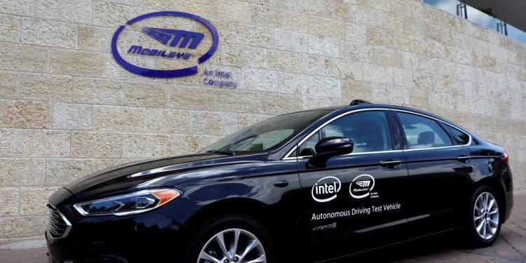
The cabal of companies that have partnered with Mobileye, the Israeli computer vision startup company Intel acquired two years ago in a deal worth $15.3 billion, grows by the day. In May, Mapbox teamed up with the San Jose chipmaker’s subsidiary to supply its infrastructure-as-a-service product to driverless car makers, and in July, Baidu began collaborating with Mobileye to integrate its tech into Project Apollo, Baidu’s autonomous vehicle platform. More recently, Mobileye inked a deal with Volkswagen to launch Israel’s first driverless ride-hailing service.
But it’s not stopping there.
In an announcement timed to coincide with the 2019 Consumer Electronics Show, Mobileye revealed that it has inked an agreement with Ordnance Survey, Great Britain’s national mapping agency, to bring high-precision location data to U.K. agencies and businesses.
It follows months of pilot projects in 2018, according to Ordnance Survey CEO Neil Ackroyd, during which the companies jointly worked to integrate mapping data into a geospatial database for Great Britain.
June 5th: The AI Audit in NYC
Join us next week in NYC to engage with top executive leaders, delving into strategies for auditing AI models to ensure fairness, optimal performance, and ethical compliance across diverse organizations. Secure your attendance for this exclusive invite-only event.
“At Ordnance Survey, we work hard to enable an environment that supports new technologies and data services across the public and private sector,” Ackroyd said. “One key, and common, learning is that detailed and accurate geospatial data is a must for the success of these projects. We envisage this new rich data to be key to how vehicles, infrastructure, people and more will communicate in the digital age.”
Here’s how it will work: Mobileye’s eponymous Mobileye 8 Connect technology, which gathers location data on road networks and roadside infrastructure from sensors mounted on the exteriors of cars, will be cross-referenced with publicly available geospatial datasets like OS MasterMap. Over time, highly precise maps of Britain’s roads will be produced — maps Ordnance Survey and Mobileye will use to offer location-aware services to local businesses.
For example, with Mobileye and Ordnance Survey’s data, a utility company could more accurately track assets like manhole covers, telephone poles, and lamp posts, which in turn might enable it to improve maintenance efficiency. Mobileye contends that it has applications in 5G and telecommunications industries, too, where it might inform the buildout of both wireless and below-ground high-speed networks.
“Using maps to improve operations between businesses and cities will help bring us closer to the realization of smart cities and safer roads,” Amnon Shashua, CEO of Mobileye, said.
Mobileye’s platform has already improved the lives of U.K. consumers, it claims — albeit not strictly speaking with mapping data. In November, Mobileye said that, in a trial involving its advanced driver assistance systems (ADAS) with U.K. bus operator Abellio London, it contributed to a reduction of avoidable collisions and injuries by 29 and 60 percent, respectively.